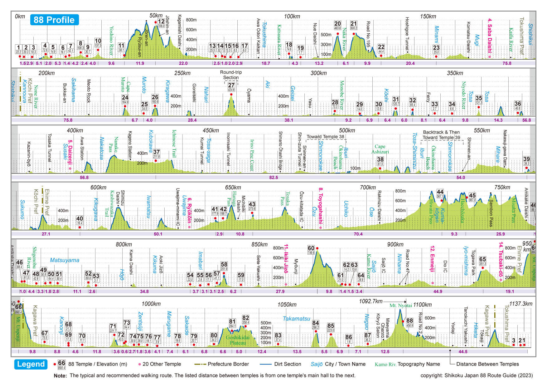
The Shikoku Pilgrimage Trail is 1150 kilometres long and leads to 88 Buddhist temples spread across the island of Shikoku.
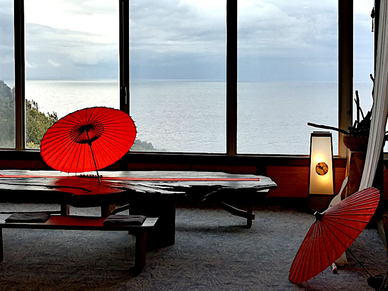
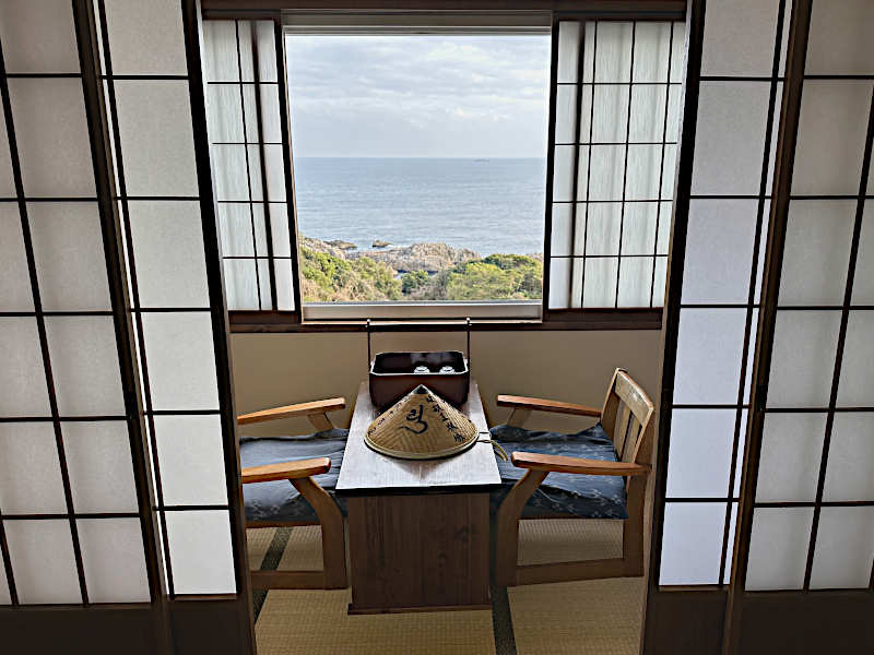
Some of the temples are located right by the sea, while others are secluded in the impressive mountains up to 900 metres above sea level. Many temples are located in the centre of the villages and towns of Shikoku’s four prefectures.
The Shikoku Pilgrimage Route was established more than 1200 years ago. Its origins go back to Kūkai, posthumously Kōbō Daishi (774-835), the visionary monk and founder of Shingon Buddhism in Japan.
The veneration of Kūkai has played an important role for pilgrims throughout the centuries to the present day.
The Shikoku Pilgrimage Trail is 1150 kilometres long and leads to 88 Buddhist temples spread across the island of Shikoku.
Some of the temples are located right by the sea, while others are secluded in the impressive mountains up to 900 metres above sea level. Many temples are located in the centre of the villages and towns of Shikoku’s four prefectures.
The Shikoku Pilgrimage Route was established more than 1200 years ago. Its origins go back to Kūkai, posthumously Kōbō Daishi (774-835), the visionary monk and founder of Shingon Buddhism in Japan.
The veneration of Kūkai has played an important role for pilgrims throughout the centuries to the present day.

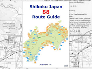

Most pilgrims start their walk on Shikoku at temple number 1, “Ryōzenji”, in Tokushima Prefecture. They visit the other temples in Kōchi and Ehime prefectures in ascending order, ending at Temple 88, “Ōkuboji”, in Kagawa. However, pilgrims are free to start at any of the 88 temples. Local pilgrims often start at their home temple.
Nowadays, many, especially Japanese pilgrims, make the pilgrimage in several stages, sometimes over several years (kugiri-uchi). They walk parts of the route at weekends, during holidays or in public holiday weeks. After a break, they resume their walk where they last left off. The journey to the starting points is often made by public transport.
Traditionally, the entire pilgrimage was carried out without interruption (tōshi-uchi), not least because of the often long and arduous journey to Shikoku.
The main goal of most pilgrims was and is to visit all 88 temples (kechigan).
It does not matter in which order the temples are visited. The 88th temple a pilgrim visits becomes his or her “kechigan temple”. This could be the temple with the number 88, but also any other temple. Another interpretation is that Kechigan is reached when all 88 temples have been visited and the return to the starting temple has taken place. The “circle” is complete.
In either case, it is customary to travel on to Kōya-san and tell Kūkai about the successful pilgrimage.
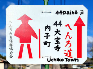
 For a first pilgrimage on Shikoku, it is advisable to walk clockwise and visit the temples in ascending order (jun-uchi). In this direction, the path is well signposted and and you are less likely to get lost.
The counter-clockwise pilgrimage is the particularly difficult and therefore the most rewarding. The temples are visited in descending order (gyaku-uchi). Signposting in this direction is sparse and the correct routes are difficult to find.